Weather in the Tuchola Forest
A 7-day forecast for five towns in the region and water levels of the Brda and Wda from IMGW gauges.
Weather in Tuchola
Loading the forecast.
Now
- Sky
- Wind
- Sun
Next days
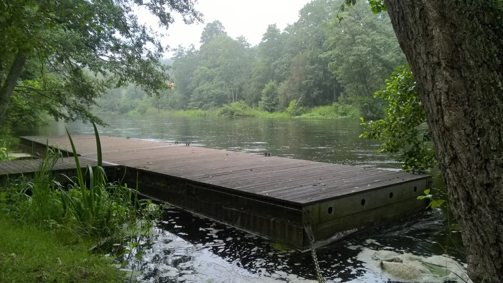
Brda and Wda water levels
Readings from IMGW river gauges, from upstream down. A gauge shows the water level against a fixed point on the bank, not the depth of the river. The gold mark on the bar is the warning level.
Brda
Wda
Rain:
Strong wind
Where the data comes from
The forecast comes from the model of the Norwegian Meteorological Institute (MET Norway) and refreshes every half hour. Weather warnings apply to the district of the selected town.
Water levels, flow and warning levels come from the Polish Institute of Meteorology and Water Management (IMGW). The page refreshes them every half hour.
The forest fire danger level is set by the State Forests and the Forest Research Institute during the season, usually from March to September, from measurements taken at 9:00 and 13:00. Outside the season this part of the page is not shown.
Weather forecast based on data from MET Norway, licence CC BY 4.0. Źródłem pochodzenia danych jest Instytut Meteorologii i Gospodarki Wodnej – Państwowy Instytut Badawczy. Dane Instytutu Meteorologii i Gospodarki Wodnej – Państwowego Instytutu Badawczego zostały przetworzone.
A place to stay by the river
Houses and holiday centres on the Brda, the Wda and the region’s lakes, described by our editors.
See places to stay